Do you picture stepping out your condo and being at the bayfront in minutes, a cappuccino in hand, show tickets in your pocket, and no car keys needed? If you are comparing urban and coastal living in Sarasota, that vision hinges on one big idea: walkability. You want the right mix of convenience, comfort, and culture without sacrificing safety or value. In this guide, you will learn what walkability really means in Downtown Sarasota, how to measure it, and how to evaluate specific buildings and streets. Let’s dive in.
What walkability means
Walkability is more than a catchy score. It is a mix of proximity, connectivity, pedestrian environment, safety, and activity. In simple terms, it asks how close destinations are, how easy the routes feel, and whether the street life makes you want to walk.
According to consumer tools like Walk Score and guidance from the U.S. Environmental Protection Agency and planning experts at the American Planning Association, walkability combines objective elements and everyday experience. Sidewalks, crossings, shade, lighting, and traffic speeds matter. So do your personal impressions: Is the route pleasant, safe, and lively?
Core components to consider
- Proximity: minutes to daily needs and cultural anchors.
- Connectivity: a street network with direct, continuous walking routes.
- Pedestrian environment: sidewalk width, curb ramps, crosswalks, lighting, and shade.
- Safety: speeds, driver behavior, and how safe you feel day and night.
- Activity mix: retail, dining, services, and arts that create reasons to walk.
What shapes walkability in Downtown Sarasota
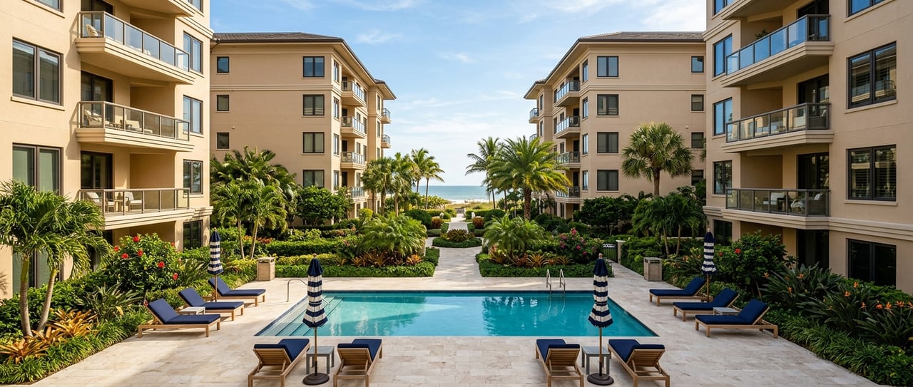
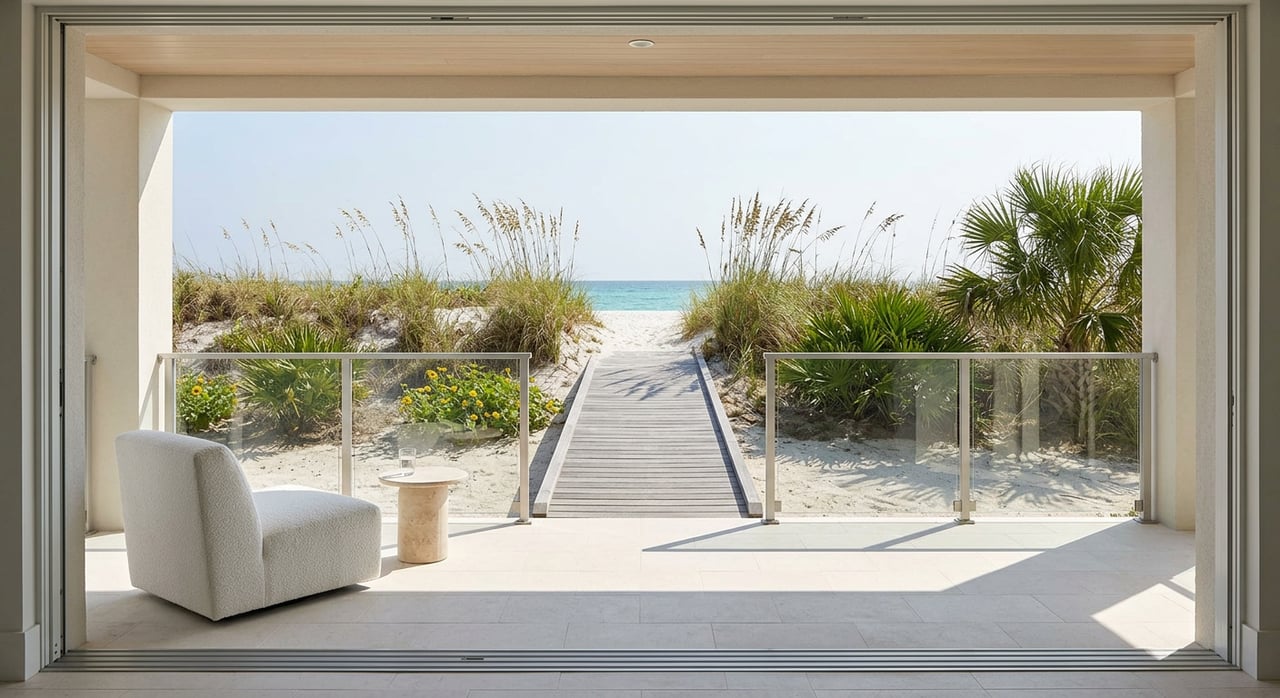
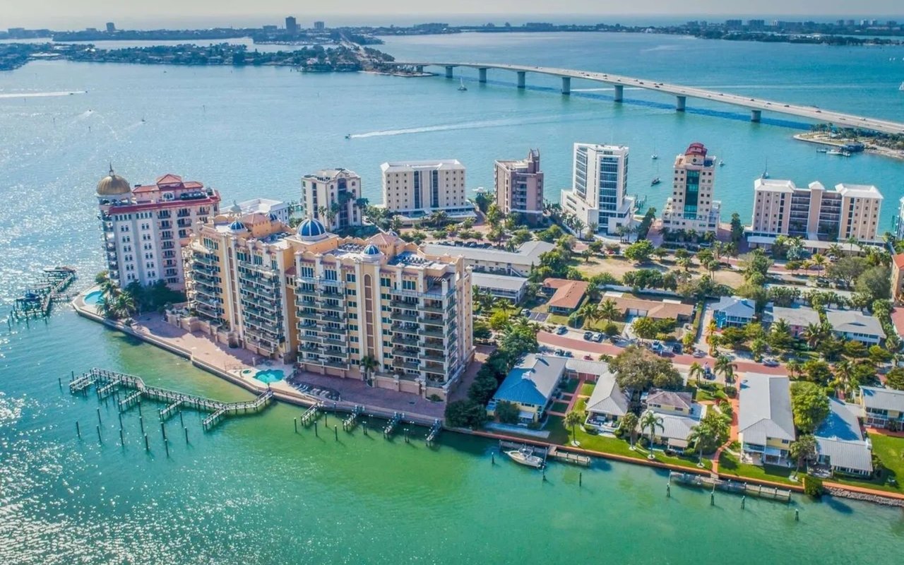
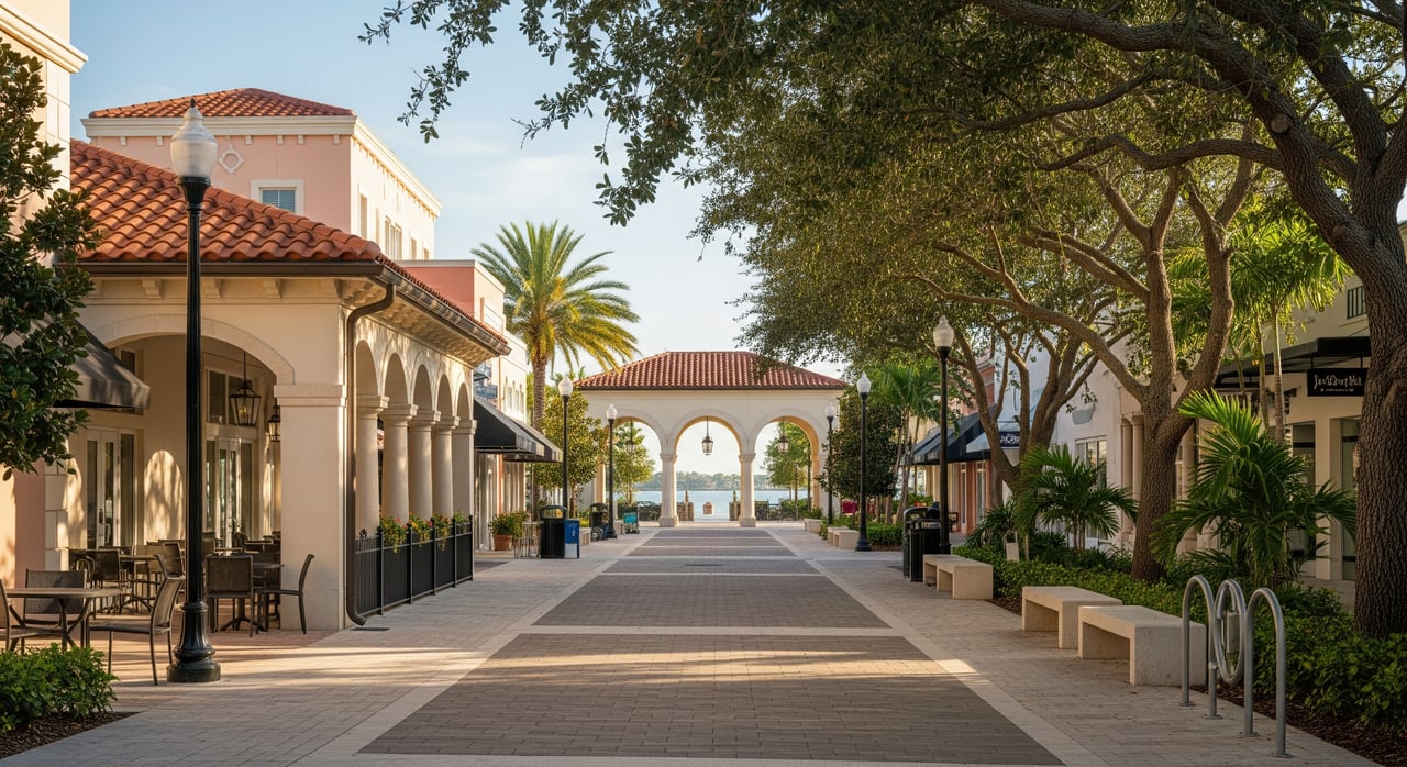
Downtown Sarasota gives you a strong foundation. A compact core clusters restaurants, cafés, galleries, and small shops. Cultural venues along and near the bayfront create regular trips to shows, galleries, and events. The waterfront promenade draws residents and visitors for daily walks and sunsets.
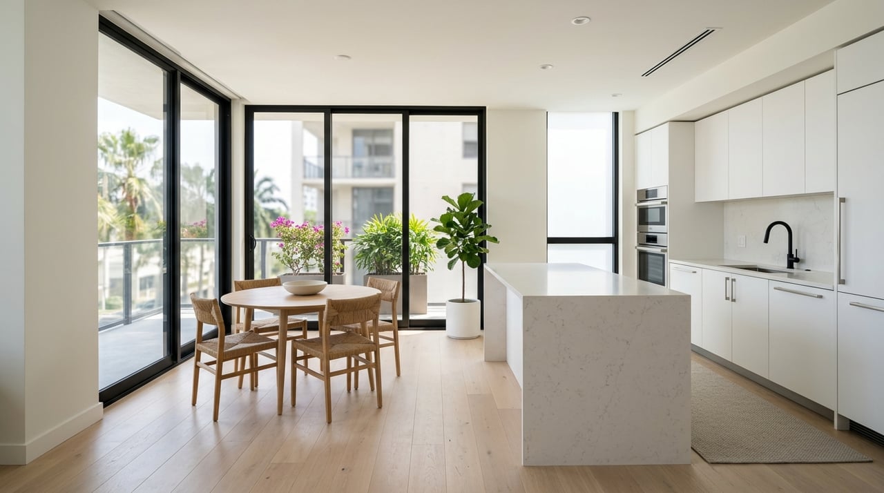
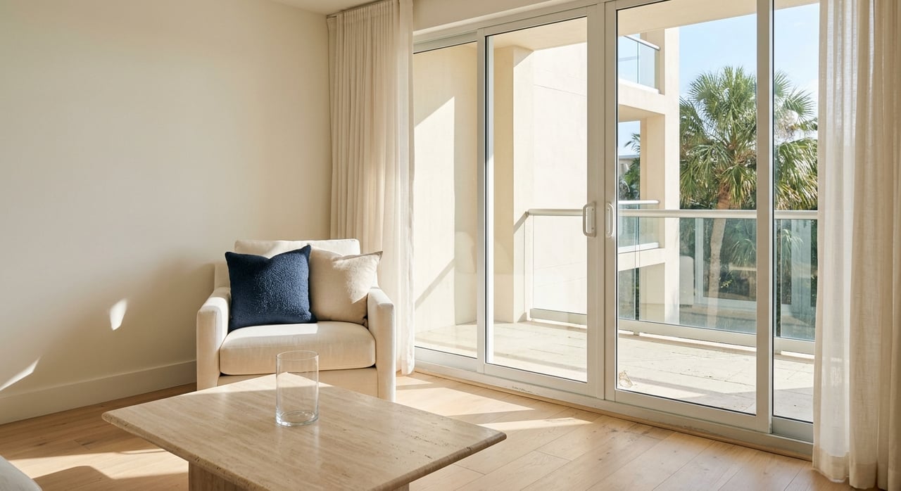
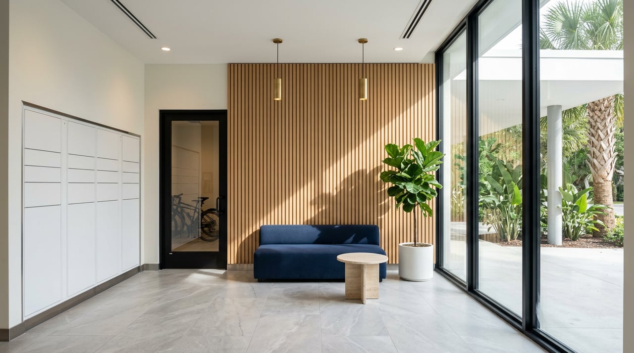
The built form matters too. Mid-rise condos and mixed-use buildings support ground-floor activity and create an engaging sidewalk scene. You can often combine errands, dining, and a show on a single walk.
Local factors you will feel
- Seasonality: High season brings more pedestrians, longer hours, and a lively street scene. Low season is quieter and easier to navigate.
- Climate: Summer heat and sun make shade, trees, awnings, and water breezes more important. Routes with arcades and tree canopy feel better in August.
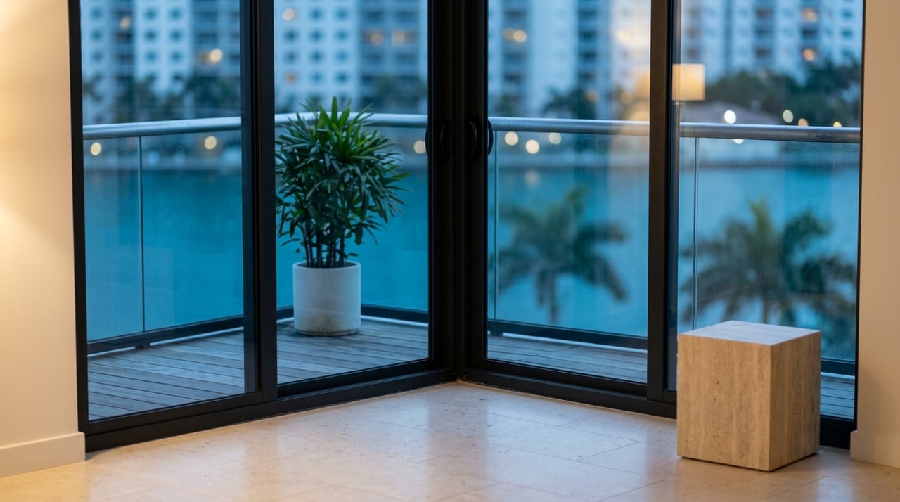
- Coastal exposure: Bay views and waterfront access are a major draw, but flood risk and related insurance costs are practical factors to weigh.
How to measure it for a specific condo
You do not need to guess. Use a few simple tools and local proxies to make an apples-to-apples comparison.
- Start with Walk Score for a quick snapshot of nearby amenities. It is a handy shorthand, though it does not capture shade, crossing quality, or seasonality.
- Check door-to-door walking minutes to a grocery, pharmacy, a major theater, the waterfront promenade, and a popular dining corridor. Do this during the time of day you would normally go.
- Review local planning resources. The City of Sarasota and the regional Sarasota/Manatee MPO share maps and plans that reflect sidewalk networks, bike routes, and upcoming streetscape projects.
- Transit matters too. Look up Sarasota County Area Transit service and stops near your building through the county’s SCAT resources.
- For coastal buildings, cross-check FEMA flood maps via the FEMA Map Service Center and review elevation or mitigation features if available.
Quick local proxies
- Minutes by foot to daily needs and cultural anchors.
- Number and variety of dining spots within a 5 to 10 minute radius.
- Whether the bayfront promenade offers a continuous, connected walking route.
- Sidewalk continuity and crossing quality on likely routes.
- Nearby transit stops and service frequency.
- Flood zone designation and visible resilience measures at street level.
How walkability influences value and lifestyle
Research from groups like Smart Growth America and the American Planning Association shows many walkable urban areas command a premium because they reduce car dependence and deliver lifestyle benefits. For downtown condos, that convenience often shows up in pricing and demand from second-home buyers, empty nesters, and renters who prioritize being close to arts and dining.
Local factors can amplify or temper that effect. High season adds energy but can bring more noise and parking pressure. Coastal proximity boosts appeal but may mean higher insurance or HOA costs. Building features also matter: secure garage parking, bike storage, concierge services, and on-site retail can enhance or substitute for the neighborhood.
Benefits and tradeoffs to weigh
- Benefits: fewer car trips, effortless access to culture and dining, social life at your doorstep, everyday health gains from walking.
- Tradeoffs: parking constraints, seasonal crowds, potential noise near active streets, and coastal insurance considerations.
Street-level checklist for Downtown Sarasota
Use this when you tour buildings and the neighborhood:
- Destinations and minutes:
- Grocery, pharmacy, major theater, waterfront promenade, café strip, transit stop.
- Aim for 5 minutes to everyday needs, 10 to 15 minutes to cultural venues.
- Sidewalks and routes:
- Continuous sidewalks on your primary routes.
- Width and obstacles that could narrow the path.
- Shade from trees, awnings, or arcades for summer comfort.
- Marked crosswalks, pedestrian signals, and refuge islands on wider streets.
- Safety and lighting:
- Observed traffic speeds and calming features.
- Nighttime lighting on key blocks you will use.
- Activity and hours:
- Are ground-floor businesses active into the evening and weekends?
- How does foot traffic shift between high and low season?
- Practical conveniences:
- Short-term parking or garages for guests and deliveries.
- Nearby SCAT stops and service patterns.
- Environmental and regulatory risk:
- FEMA flood zone status and visible flood mitigation.
- Any posted notices of streetscape or construction projects.
Building-level checklist for condos
Look at how the building connects to the sidewalk and how it functions day to day:
- Entrance and street interface:
- Lobby opening directly to the sidewalk vs. recessed behind driveways.
- Ground-floor retail or café that adds eyes on the street.
- Parking and storage:
- Resident and guest parking supply, bike storage, and EV charging.
- Noise and orientation:
- Street-facing units feel connected but may be noisier.
- Bay-facing or courtyard units trade connection for quiet.
- Services and cost offsets:
- Concierge, package handling, and on-site convenience retail.
- HOA dues and what they cover, including flood or wind insurance.
- Legal and financial health:
- Reserve funding, special assessments, and any litigation.
- Risk checks:
- Elevation certificates, flood and wind loss history, and retrofit records.
Your quick walkability scorecard
Bring these bullets to each showing and fill them in:
- Minutes to grocery: ____
- Minutes to main dining corridor: ____
- Minutes to waterfront promenade: ____
- Sidewalk continuity on main routes: Yes / No
- Shade and tree cover: Good / Moderate / Poor
- Crossings and signals: Strong / Adequate / Weak
- Nighttime vibrancy: High / Medium / Low
- Nearby transit stop: Yes / No
- Flood zone concern: None / Moderate / High
- Parking stress (typical evening): Low / Moderate / High
High season vs. low season feel
In January and February, sidewalks swell in the evening as theatergoers, diners, and visitors share the streets. You will feel a festive buzz and later hours. In late summer, nights are calmer and cooler breezes make bayfront walks peaceful. Tour in both windows if you can, because you will likely live through both rhythms.
Put it into practice
Walk your likely daily routes at the times you will use them. Try a grocery run, a show night, and a sunset promenade. Check crossings and shade, see how long errands actually take, and note where you would park guests. Review flood zone information and your building’s elevation or mitigation before assuming waterfront convenience is cost neutral. If you want local guidance and a building-by-building perspective, reach out to Shane Lewis for a tailored walkthrough and condo shortlist.
FAQs
What is walkability for a Downtown Sarasota condo buyer?
- It is the mix of proximity, safe and pleasant routes, and an active streetscape that makes daily trips easy, supported by tools like Walk Score and guidance from the EPA and APA.
How do Sarasota summers change the walking experience?
- Heat and sun make shade, trees, awnings, and waterfront breezes more important, so prioritize routes with cover and plan errands for earlier or later in the day.
How can I check flood risk for a downtown building?
- Review the property’s FEMA flood zone via the FEMA Map Service Center and ask for elevation certificates or mitigation details when available.
Does a higher Walk Score always mean better daily life in Sarasota?
- Not always, because scores do not capture shade, crossing quality, or seasonality, so you should field-test routes and review local plans from the City of Sarasota.
What transit supports walkability in Downtown Sarasota?
- Sarasota County Area Transit serves downtown; review routes, stops, and schedules on county SCAT resources to see how it fits your routine.
How can an agent help me compare buildings for walkability?
- A local advisor can time routes, assess sidewalks and crossings, review flood and building documents, and weigh tradeoffs like parking and noise; connect with Shane Lewis for a building-by-building plan.